USING CLIMOGRAPHS
INTRODUCTION:
Every location on earth has characteristics that distinguish it
from all other places. Geographers describe a place in terms of
physical and human or cultural characteristics. Climate is an
essential part of a place's physical characteristics; it can
influence many of the rest of a place's traits, such as vegetation,
wildlife, cultural landscapes, and lifestyles.
One of the best and easiest ways to describe a place's climate is
to use a "climograph". Although a climograph does not provide
complete climate information, it does portray two of the most
important elements of climate- precipitation and temperature. Many
characteristics of a place can be inferred by interpreting the
climograph.
OBJECTIVES: Students will be able to:
- Define geographic terms relating to climate.
- Describe an essential physical feature of a place by plotting
a climograph of it.
- Make inferences about a place based on interpreting data on a
climograph.
TIME REQUIRED: 1-2 class periods
MATERIALS AND PREPARATION: Make copies of Handouts 9-1,
9-2, and 9-3 for all students; you may also want to make a
transparency of Handout 9-2 for projection. Students will need
colored pencils.
Handout 9-1
Average Precipitation (in inches)
Jan    Feb    Mar   Apr   May   Jun   Jul   Aug   Sep   Oct   Nov   Dec
3.5    3.8    3.6   3.2   3.9   4.0   2.9   3.4   3.4   3.5   3.0   3.6

Average Temperature (Fahrenheit)
Jan    Feb    Mar   Apr   May   Jun   Jul   Aug   Sep   Oct   Nov   Dec
 29     31     38    47    58    68    74    72    65    54    47    33
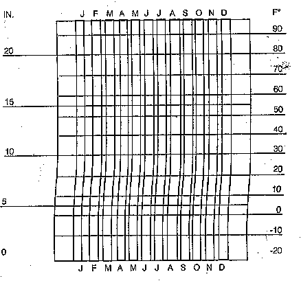
Handout 9-2: blank climograph
PROCEDURE:
- Discuss with students the difference between climate and
weather. Write definitions on the chalkboard:
- weather- day to day atmospheric conditions
(precipitation and temperature) in a particular place for a
short period of time.
-
- climate- average of precipitation and temperature
patterns over a long period of time (usually 111 years of data
are used by the U.S. Weather Bureau to establish normal
patterns.)
-
- precipitation- moisture in form of rain, snow, or
sleet.
-
- temperature- measure of heat and cold.
-
- climograph- a chart that shows a place's yearly
climate patterns.
-
- Give each student Handouts 9-1 and 9-2. Go over the data on
precipitation and temperature with the students. You should tell
students that an "average monthly temperature" would be an average
of all the high and low temperatures for a month.
- Plot the information. Show the monthly precipitation data as a
bar graph using the inches scale on the left of the climograph.
Show the temperature data as a line graph using the Fahrenheit
scale on the right. For clarity, you can have students use one
colored pencil to plot precipitation and another colored pencil to
plot temperature.
- After students have completed making the climograph of Boston
(see below), have them complete the exercise, Analyzing a
Climograph.
Completed climograph image

Handout 9-3: ANALYZING A CLIMOGRAPH
- Use the information on the climograph of Boston you have just
made to answer the following questions:
- What two months in Boston average below freezing temperatures?
In which months might the precipitation come in the form of
snow?What is the warmest month in Boston?
- What is the difference in degrees between the coldest and
warmest months?
- Does Boston have a "dry season"? Why or why not?
- Which business would you rather own in Boston, air
conditioning or heating?
- When would most crops be planted? Why?
- Would grapefruits and oranges be grown? Why or why not?
- Would you expect to find a seasonal change of clothing? What
kinds of different clothing might be needed?
- Would you expect to find skiing near Boston? Ice skating?
- Would you play hockey indoors or out?
- Would it be common to find outdoor swimming pools? Why?
- How might houses in this area be built? Would roofs be flat or
pitched? Why?
- Looking at the climograph, how can you tell Boston is located
in the Northern Hemispere?
- Add all of the months' average precipitation. What would be
Boston's average yearly rainfall in inches? What is its average
monthly rainfall?
- Make up a question of your own based on the climograph.
-
This climograph exercise was contributed by the Massachusetts
Geographic Alliance